4 Best Hikes in Montserrat, Catalonia
This rugged region boasts sublime sights of unique rocky pillars and the quaint, Catalonian countryside. Here are the 4 Best Hikes in Montserrat, Catalonia. The vistas are that good you’ll be saying No way, José.
If you're searching for a quick getaway from Barcelona’s bustling boulevards, this is it. The multi-peaked mountainous landscape of none other than panoramic Montserrat illustrates the cusp of the city.
If you want to sprinkle a bit of old-fashioned physical activity into your Spain vacation, Montserrat is a must-see.
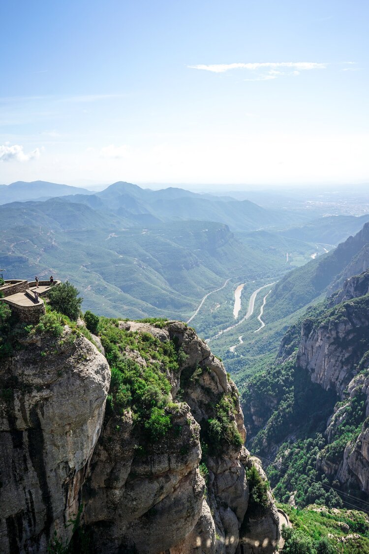
Straddled by abrupt rocks and capped with column-like crests, the monumental Montserrat Abbey sits perched well and truly on the cliff’s edge. This stunning region encompasses many hiking opportunities around the natural park.
This blog post will cover comprehensive details on the length of the walks, difficulty and duration with estimated times, and top tips and local advice on things you’ll need to consider beforehand.
Here’s what we cover in this Montserrat guide:
How to Get From Barcelona to Montserrat
What to Bring to Montserrat
4 Best Walking Trails in Montserrat
Tips for Hiking in Montserrat
FAQs
How to Get to Montserrat from Barcelona
Monserrat by train
The most common choice from Barcelona to Monserrat is via the R5 train from Plaça d’Espanya station. This train takes you to the very base of the mountain, where from that point onwards, you have two options.
To arrive at the Montserrat Monastery, hop off at Montserrat-Aeri and take a cable car. Otherwise, you can get off at the next stop, Monistrol de Montserrat, and take the Cremallera de Montserrat.
You should plan which route you’ll take in advance and then purchase the correct ticket at one of the main train stations in Barcelona. In both options, the ticket will include the train to the bottom of the mountain, in addition to the cable car or second train. To purchase your tickets, head to the ticket box or opt for one of the yellow vending machines in the Plaça d’Espanya station.
Driving to Montserrat
If you’re planning on manoeuvring the roads like a local, you’ll need at least one hour to arrive via car. You’ll have to park your vehicle at either one of the train stations and then you can catch a cable car or funicular from Montserrat-Aeri or Monistrol de Montserrat stations.
Alternatively, you can drive up to the Santa Maria de Montserrat Abbey, with free parking. Just keep in mind that parking is limited and it can fill up pretty quickly. The earlier you arrive, the better.
What to Bring to Montserrat
The beauty of these hikes is that you don’t need special equipment. One thing to take into consideration is the weather in Montserrat. The climate’s conditions can fluctuate vastly, so it’s crucial that you prepare for your hike accordingly with the correct gear.
Here’s a packing list of the essentials:
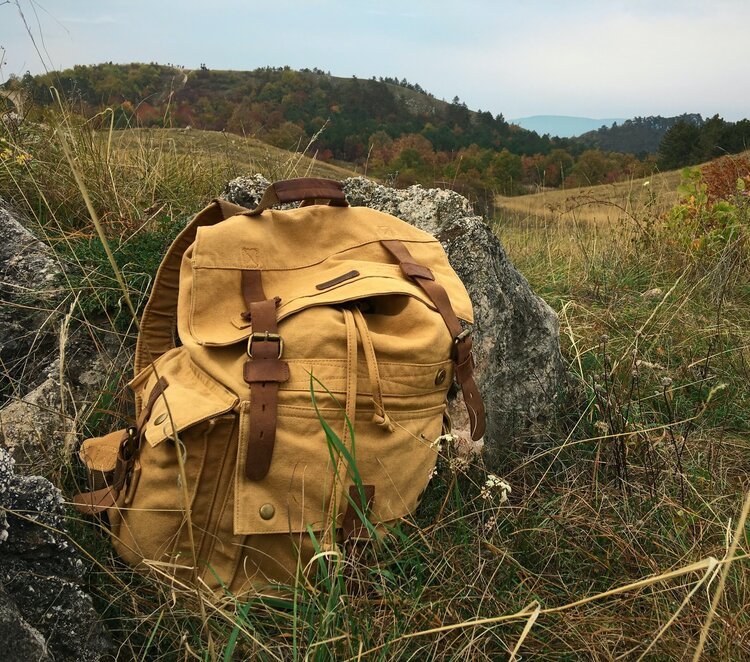
Proper, supportive walking shoes. Ditch the thongs (flip flops) or sandals
Water bottle (preferably non-disposable so that you can simply refill it)
Windproof/waterproof jacket
Warm layers (depending on the season and forecast)
Picnic lunch & snacks. Don’t forget about the snacks, goddammit!
Sunscreen
Hat, cap, or bucket hat
Map
Optional:
Hiking sticks
Best Walking Trails in Montserrat
Before setting your plans into stone, it’s crucial that you consider which of the following trails are best suited to you and your hiking abilities. Different routes offer different views, so it also comes down to what you’ve set out to see.
The highest summit, Sant Jeroni, sits at 1,236m. There are two other prominent peaks, known as Montgrós, which lies at 1,120, and Miranda de les Agulles, which lies at 903m. This multi-peaked mountain range offers scintillating views of the Catalonian countryside and makes for a great day trip from Barcelona.
You can check out the Map of Montserrat to get a visual perspective on the trails and points of interest variation. Remember that a fair majority of the hikes will first require you to catch the funicular from Montserrat.
Montserrat Monastery to The Degotalls
Peering down from the flats of the Trinity, the trail to Degotalls leads you along winding walls.
Overlooking the undulating Pyrenees and Llobregat Valley, this trail allows you to immerse yourself in the plethora of lush vegetation the region offers.
This is the walk for you if you’re seeking a slice of serenity. There’s plenty of shade perfect for a quick pit stop!
Directions for the walk
Head up the main road towards Monistrol.
In front of the Mirador dels Apostols edifice, opt for the path to your left that runs right along the highway (direction North West).
Follow this path until you reach the 'Degotalls' (around 25 mins).
You can then head back - along the trail, you’ll encounter unique, local murals hidden amongst the towering trees.
Slope: 20 metres
Length of walk: 3.20 kilometres
Duration of walk: 50 Minutes (approximately)
Difficulty of walk: Easy
Monastery to Santa Cova
The historical pilgrimage path is by far the most significant and widespread. The trail leads you to the Holy Cave, otherwise known as the Santa Cova. This walk was reconstructed throughout the 18th century, and a chapel enclosed the cave. You’ll find 15 altars lining the rosary, each representing the lives of Jesus and the Virgin Mary.
A handful of the altars were also created by renowned artists, from the likes of Gaudí and Josep Puig i Cadafalch to Joan Martorell. If you’re fascinated by the arts and religion, this walk is definitely for you.
Directions for the walk
Walk to the base of the Santa Cova cable car station.
Opt for the cement path sandwiched between the station and the railway tunnel.
Follow the path until you reach the point where the trail veers to the left and continue to the lower station of the funicular.
Continue along 'The Path of the Rosary'. Approximately 20 minutes later, you will arrive at the base of St Paul's needle.
Continue walking for another 25 minutes, and eventually, you will arrive at the chapel and the Santa Cova.
Slope: 120 metres
Length of walk: 2.70 kilometres
Duration of walk: 1 hour 10 minutes (approximately)
Difficulty of walk: There is a very steep part towards the end (but you can skip this part simply by catching the funicular backup).
Sant Joan Funicular (Upper Station) to Montserrat (via Sant Jeroni and Flat of Els Ocells)
Description of the walk
This trail proffers the most sublime views in the magnificent Montserrat mountain range.
The path invites you through the depths of the Montserrat Natural Park, leading you to the very pinnacle point.
Directions for the walk
First, you’ll need to hop on the Funicular de Sant Joan from Montserrat Monastery to Sant Joan.
From the upper station of the funicular, take a right turn, following the path that leads North West.
About 15 minutes later, you’ll find yourself underneath the Gorra Frigia, with the summit of Sant Jeroni serving as a backdrop.
Continue walking along the path winding through the rocks until you come across a lookout towards the left.
Follow the edge of the ridge until you reach the head of the valley, where you’ll enter the forest.
Continue for a further 30 minutes until you see the Torrent of Santa Maria. Keep your eyes out for a small wooden bridge.
Around 45 minutes later on, you’ll find yourself at the Hermitage of Sant Jeroni. Take the path upward that’s to your left. Continue for 10 minutes until you reach the top of Sant Jeroni.
Slope: 320 metres
Length of walk: 7.5 kilometres
Duration of walk: 2 hours 5 minutes (approximately)
Difficulty of walk: There are steep inclines throughout various stages of the walk.
Sant Joan Funicular (Upper Station) to Montserrat Monastery (via Path of La Serra Llarga and the Holy Cave)
Spanning a gradual incline, this walk is threaded with sublime views over the rolling Llobregat Valley. With the plunging mountain range as a backdrop, this hike is best suited for avid photographers and keen adventure lovers.
Directions for the walk
Hop on the funicular to Sant Joan.
Once you reach the upper station of the funicular, head for the broader path to the left, leading you up towards the South East.
Follow along until you arrive at a point where you face the cliff’s peak.
From this point, descend further towards the Flat of Saint Miquel.
About 20 minutes later, you’ll encounter a trail called Les Bateries.
Opt for the path that spans towards the south. Continue for approximately 35 minutes until the path faces North.
This particular point boasts panoramic vistas of the River Llobregat. Be sure to take a look back towards the soaring Catalonian mountains of Puigventos, Sant Salvador, Sant Llorenç and Montseny.
Head upwards for a further 45 minutes until you come across a mountain called La Fita. This is where you’ll find the Path of Forat.
From the Path of Forat, follow along straight until you arrive at the Holy Cave. This will take around one hour to do so.
Slope: 150 metres
Length of walk: 5.20 kilometres
Duration of walk: 1 hour 30 minutes (approximately)
Difficulty of walk: Fairly easy, besides the steep incline towards the end.
Tips for Hiking in Montserrat:
Take advantage of the maps available. You can find them in the information office in the Abbey.
Bring a filtered/reusable water bottle with you. There are actually a handful of water fountains dotted around the natural park.
If you choose to smoke, please litter your cigarette butts appropriately. And that goes with food, snacks and other waste, be mindful of our environment!
Respect the wildflowers and flora by sticking to the main trails.
Apply, and bring along a sufficient stash of sunscreen. It’s best to apply sunscreen every 2 hours. A hat, a scarf, and sunglasses are an absolute must.
Be mindful that the weather can turn hastily, so ensure you’ve got a few warmer layers on you, just in case.
FAQS
What is the easiest hike in Montserrat?
Despite the appearance of the soaring hilltops, Montserrat offers some beginner-friendly hikes. The Via Crucis Path is only 20 minutes and ideal for getting off the beaten track.
Where do I start hiking in Montserrat?
To begin most hikes in Montserrat, head up to the Monistrol de Montserrat. You could also consider further taking the cable car up and starting from that point.
How long is the hike up Montserrat?
The Sant Jeroni Summit Loop takes 1.5 to 2 hours to complete, depending on your fitness level. Starting from the Montserrat Monastery, this track takes you through the rocky outcrops and forested hills.
How hard is it to hike to Montserrat?
Depending on your trail, hikes can range from beginner to advanced. Sant Jeroni is a relatively easy hike with an elevation of just 525 metres.
So, folks, these are the 4 Best Hikes in Montserrat, Catalonia. Whether you’re looking for a good old-fashioned, sweaty hike, or a history-infused experience, these treks will undoubtedly satisfy you.
What’s your favourite thing about hiking?







Culture and cuisine combine to make Belgium’s capital one of Europe’s most popular destinations. Whether you want to taste waffles or meander around museums, there are many things to do in Brussels.